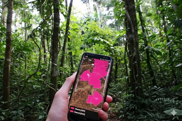
“Luma gives us new hope to strengthen spatial data capacity and turn tabular information into clearer evidence for better decisions.”
Herlan Kagami
South Sumatra Plantation Office
Together,
we map change
Scaling nature-based solutions with participatory
land use and cover mapping platform
Overcoming Map Data Barriers
Empower land use and land cover (LULC) planning and monitoring with intuitive tools that turn complex data into actionable maps.

Create your own map

Create your own map

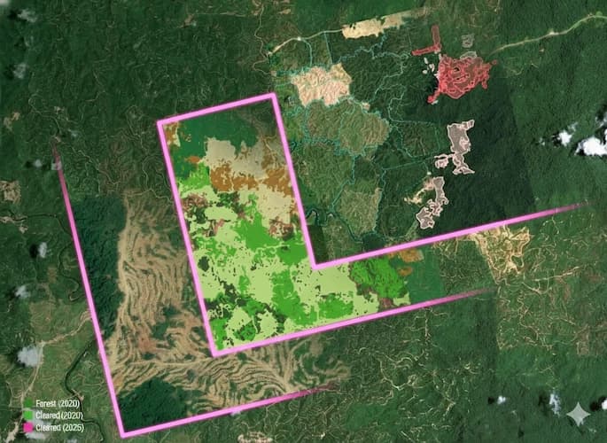
Identify Changes in your landscape

Access high-quality data

Contribute to a growing open-source community
Create your own map
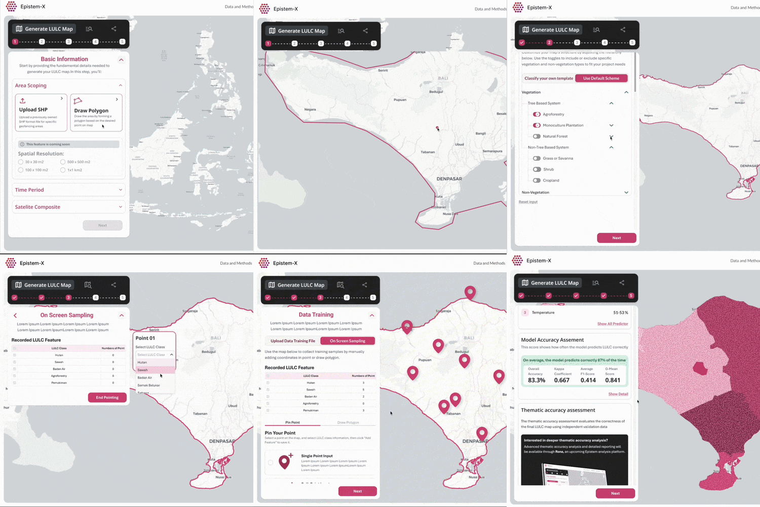
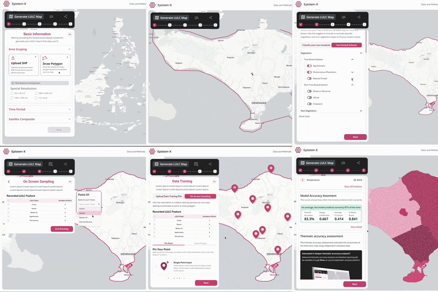
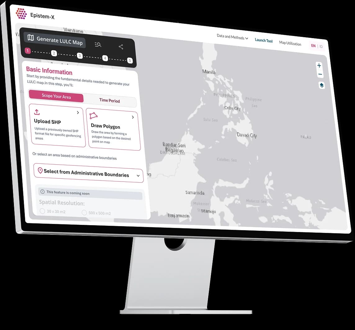
With Epistem, mapping your landscape becomes simple and powerful. Focus on the land use and land cover classes that matter most and create your own maps with user-friendly tools (no coding needed!) from publicly available satellite data.
Create your own map
With Epistem, mapping your landscape becomes simple and powerful. Focus on the land use and land cover classes that matter most and create your own maps with user-friendly tools (no coding needed!) from publicly available satellite data.
Browse Application
Explore Epistem applications to create maps, track changes, access high-quality data, and collaborate with an open-source community.
The Approach
Epistem integrates scientific rigor with real-world usability, making mapping and monitoring easier, smarter, and more inclusive.
Scientifically robust
Focuses on technical solutions that are scientifically sound, provides...
Participatory and co-created
Effective solutions emerge only when those implementing change ...
Accessible high technology
Epistem handles complex coding and data processing behind the...
Scientifically robust
Focuses on technical solutions that are scientifically sound, provides...
Participatory and co-created
Effective solutions emerge only when those implementing change ...
Accessible high technology
Epistem handles complex coding and data processing behind the...
Our Stories
Voices from the people shaping better landscapes through mapping.
“Luma gives us new hope to strengthen spatial data capacity and turn tabular information into clearer evidence for better decisions.”
Herlan Kagami
South Sumatra Plantation Office
“Technology plus local context equals accuracy, and Luma helps make spatial analysis more inclusive and accessible for more users.”
Norman Riwu Kaho
Faculty Lecturer, Universitas Nusa Cendana, Nusa Tenggara Timur
“Luma makes participatory mapping simpler and more practical, especially for learning and field-based spatial analysis.”
Nurfadhilah Yusuf
Teacher, SMK Kehutanan Negeri Makassar, Sulawesi Selatan
About Us
Supporting change-makers with data-driven solutions built for their sustainable restoration goals
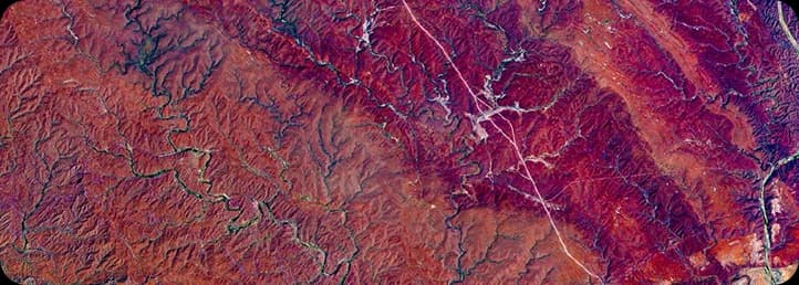
Epistem is a consortium-led initiative combining global research expertise with local knowledge to bridge the gap between science, data, and implementation of nature-based solutions. Convened by IIASA, in partnership with Landscape Alliance and WRI Indonesia, Epistem delivers practical tools for real-world impact.

Contact Us


Supported by:


Initiated by:


Events
Past and upcoming events for co-development activities and important milestones.
Upcoming Event
Epistem Goes to Campus is a series of outreach and learning activities that introduce Epistem, Luma, and the use of remote sensing for sustainable landscape management to academics in Indonesia. The program also encourages student participation in the “#StoryBehindTheMap” mapping competition and strengthens collaboration through the Karsa Bentala Community.
Jul 17 - Aug 31 2026
45 days event
South Sulawesi, Indonesia
Universitas Muhammadiyah Makassar
.png&w=3840&q=75)
Upcoming Event
#StoryBehindTheMap is a participatory mapping competition that invites young people to share stories about nature, environmental issues, local wisdom, and their experiences through maps. The competition combines Epistem’s Luma technology with social storytelling to encourage inclusive climate solutions rooted in local context.
Aug 20 - Nov 15 2026
87 days event
Indonesia
South Sumatra, South Sulawesi, East Nusa Tenggara

Upcoming Event
Epistem Goes to Campus is a series of outreach and learning activities that introduce Epistem, Luma, and the use of remote sensing for sustainable landscape management to academics in Indonesia. The program also encourages student participation in the “#StoryBehindTheMap” mapping competition and strengthens collaboration through the Karsa Bentala Community.
Jul 17 - Aug 31 2026
45 days event
South Sulawesi, Indonesia
Universitas Muhammadiyah Makassar
.png&w=3840&q=75)
Upcoming Event
#StoryBehindTheMap is a participatory mapping competition that invites young people to share stories about nature, environmental issues, local wisdom, and their experiences through maps. The competition combines Epistem’s Luma technology with social storytelling to encourage inclusive climate solutions rooted in local context.
Aug 20 - Nov 15 2026
87 days event
Indonesia
South Sumatra, South Sulawesi, East Nusa Tenggara


May 20, 2026
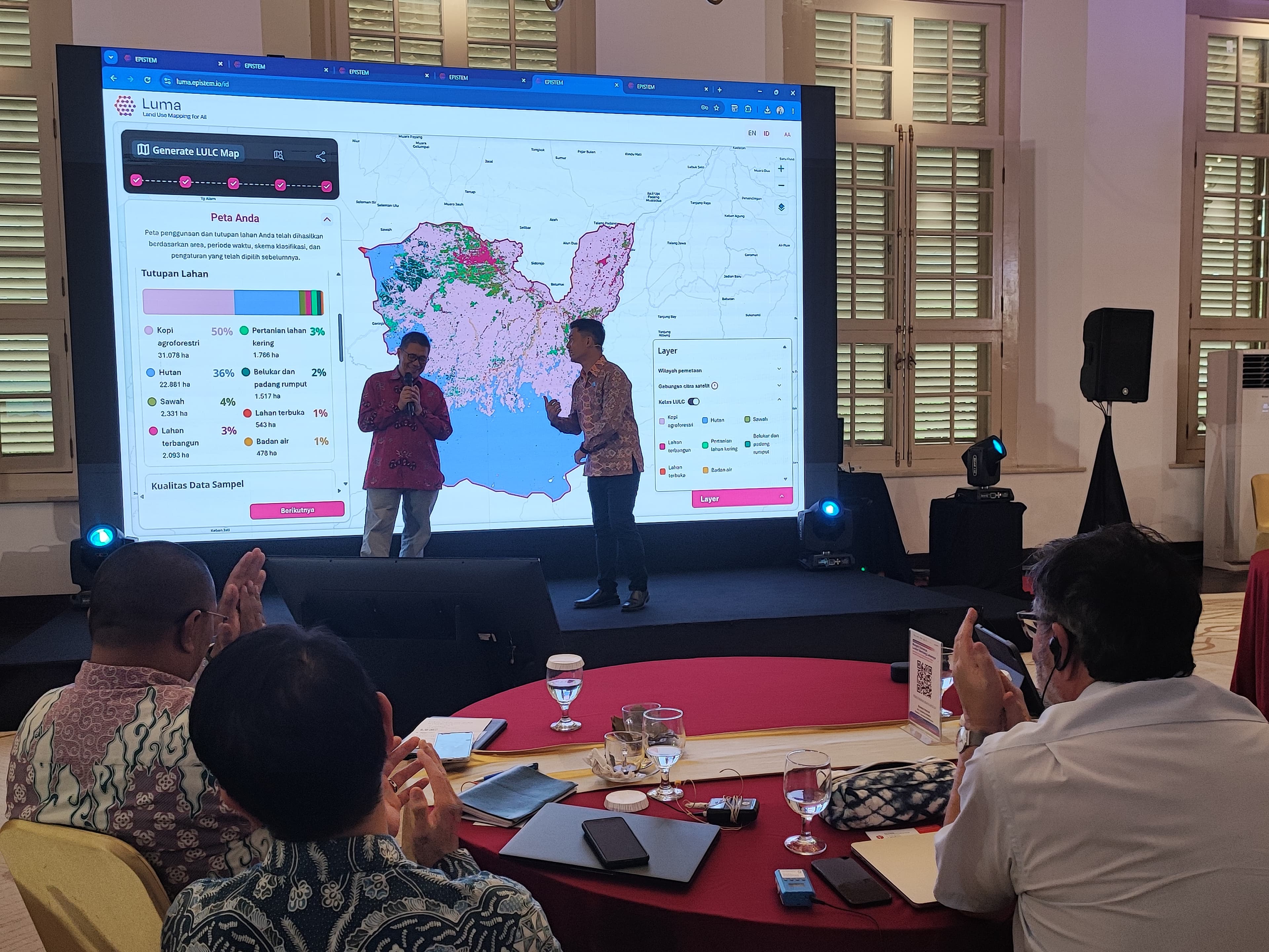
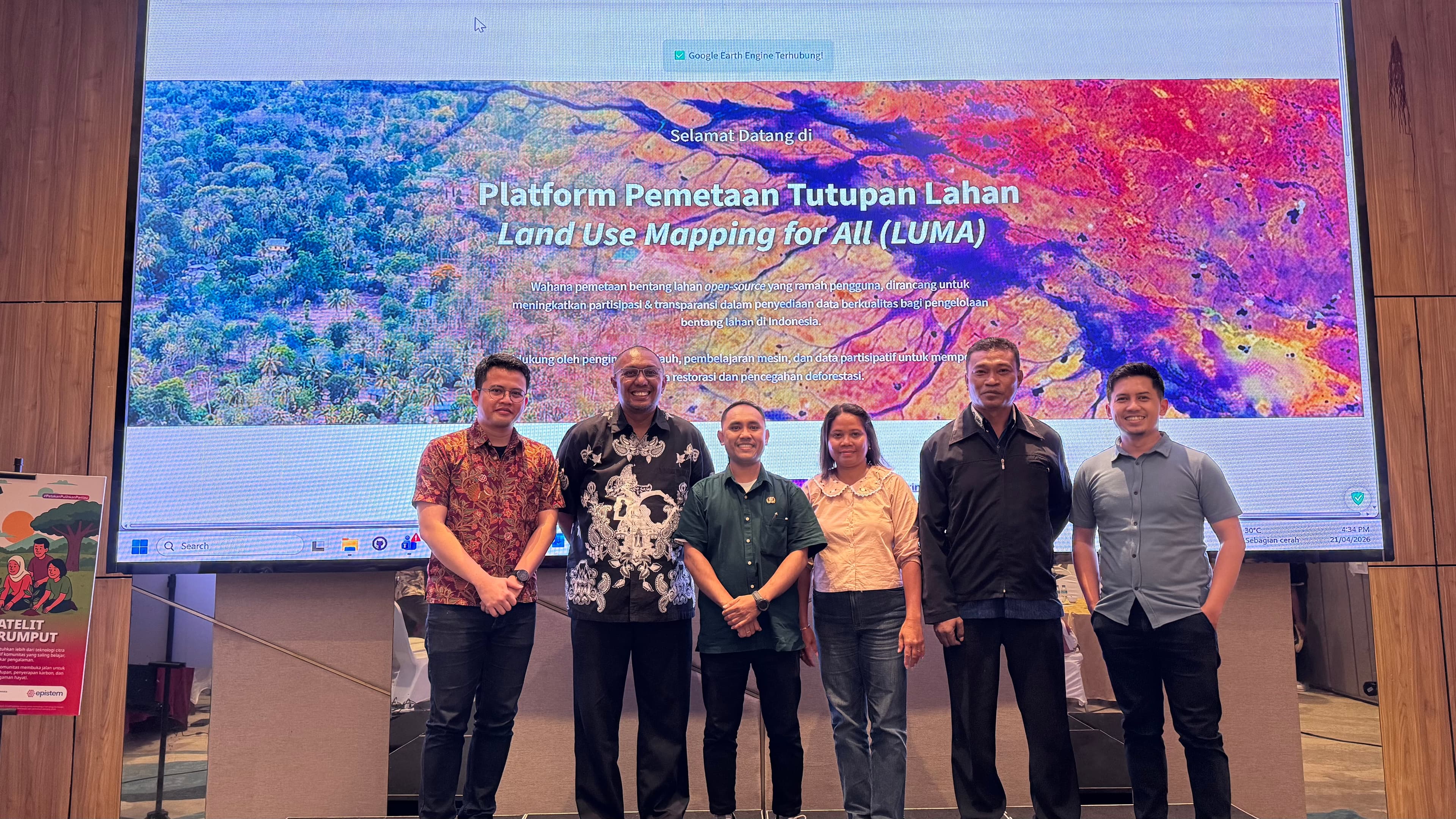
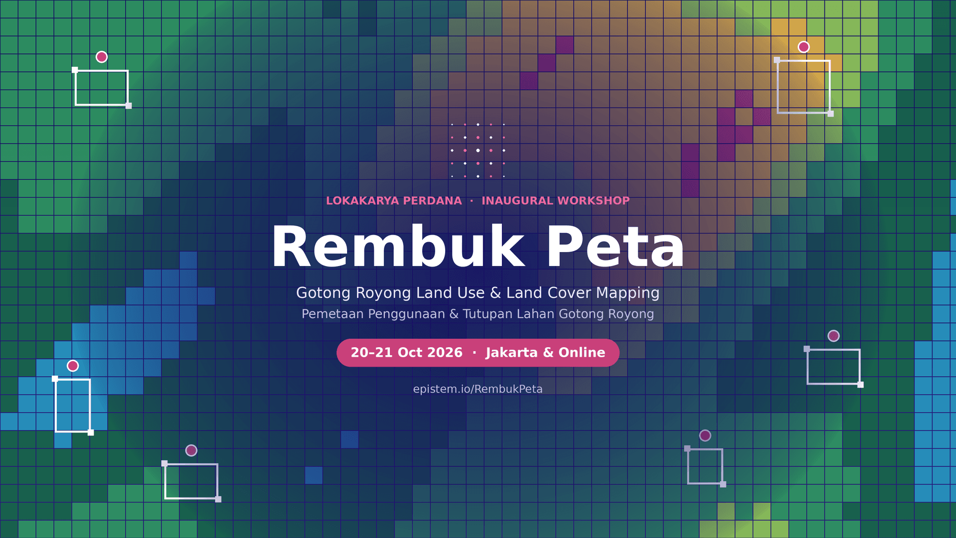
See event detailsLaunching Luma as a collaborative, cloud-based platform to democratize land mapping and support sustainable landscapes in Indonesia. Bringing stakeholders together through a participatory workshop to advance open, data-driven climate solutions.

April 20, 2026 - May 5, 2026
See event detailsStrengthening capacity for participatory landscape mapping through hands-on training in East Nusa Tenggara and South Sulawesi. Bringing together students, practitioners, and institutions to advance inclusive, data-driven land management.
August 6, 2025 - March 10, 2026
See event detailsA multi-stakeholder meetup series strengthening data, dialogue, and collaboration through hands-on participatory mapping to improve shared spatial data and land-use decisions in South Sumatra.

24 January 2024
See event detailsEpistem is a consortium-led initiative combining global research expertise with local knowledge to bridge the gap between science, data, and implementation of nature-based solutions.